Technical Overview
Maps
Region Zones
Note
I have had poor experiences using the full Japan map on devices like the eTrex 32x. The device is slow to respond and has randomly crashed on me a few times. I recommend loading individual regions instead.
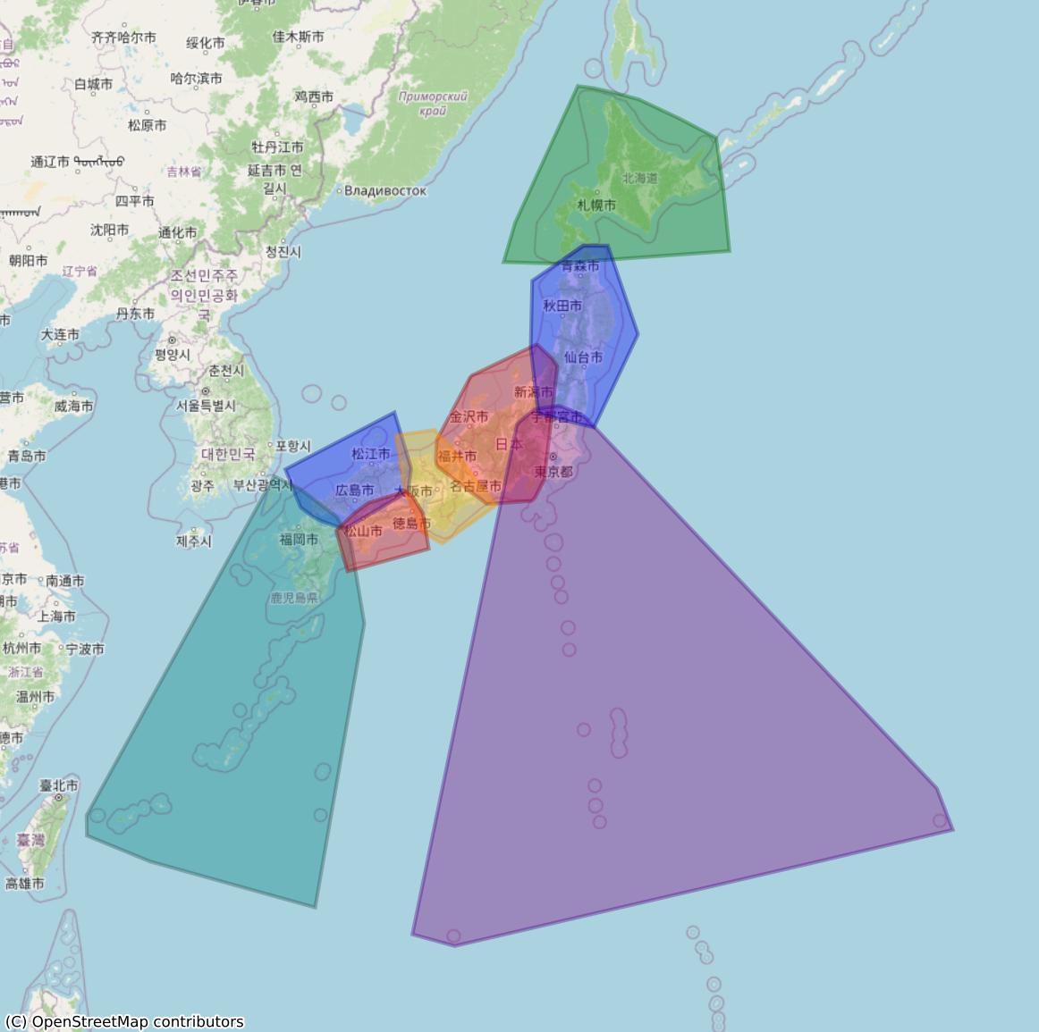
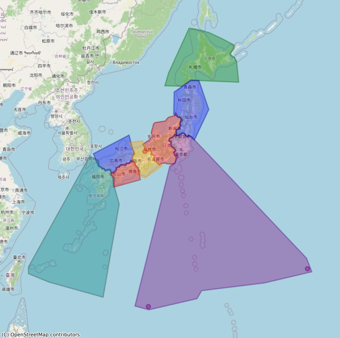
A known issue of using region-level maps is the loss of coverage at the borders. For example, if you are following a mountain pass along a border line.
As a mitigation strategy, I tried defining each region by their convex-hull bounding polygon (based on Geofabrik). This had the effect of increasing the level of overlap at the borders so that you can continue using one regions map even when you have crossed into another. Below is a visualisation of region overlaps with the convex hull approach (top) and without (bottom).
Data Sources
Coming Soon
GSI
OpenStreetMaps
SRTM
Pipeline
Coming Soon